MapBrowser
Version:2025
Languages:Italian;English;German
Size: 250 MB
Update Date:2025-04-03
Industry:Civil
Required application:ZWCAD 2018 Pro

Insert directly in your CAD maps available in Internet
The Challenge
For some years many public bodies (Ministries, Regions, Districts, Municipalities, etc.) made available geographic and cartographic data by services like WMS (Web Map Service); these are services available by Web Browser like Edge, Firefox, Chrome etc. or by GIS dedicated applications but not directly by CAD softwares like, for example: AutoCAD, BricsCAD and ZwCAD.
What is MapBrowser
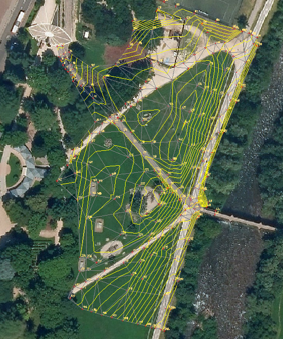
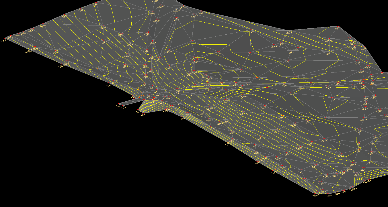
MapBrowser is a software for visualization and query of cartographic data directly in the CAD environment, DWG compatible. It allows to access GIS data on web by WMS, ArcIMS services. On these data it is possible to make queries, filters, zoom with the main aim to obtain, directly in the CAD graphic editor, georeferenced maps themed to suite your needs. The user could also select a little portion of territory and ask the visualization of some information about this portion.
Dynamic raster image downloading from WMS providers
Layer querying capabilities
Downloading published vector files with optional 3D elevation (where available)
Coordinate system management
Saving predefined configurations
Image display adjustments (brightness, contrast, shading)
Resolution management for printing
Follow Us
© 2021 ZWSOFT CO., LTD.(Guangzhou) All rights reserved. Privacy Policy.
All other trademarks cited herein are the property of their respective owners.